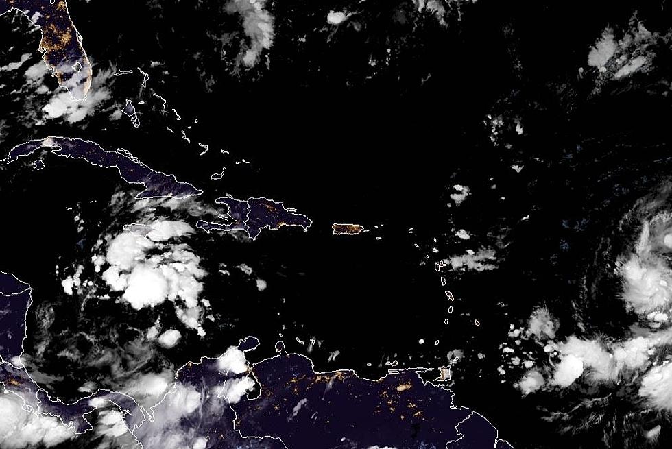
Forecasters with the National Hurricane Center say there might be some "tropical fireworks" in the Gulf of Mexico by next week's Fourth of July holiday.
Forecasters say El Nino is no longer and that could have significant effects on Louisiana's summer forecast. Here's what you can expect between now and football season.
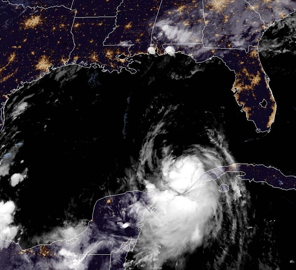
The current tropical system south of Louisiana could soon have a friend. The Hurricane Center is watching the Gulf this morning for development of another system.
If your home is damaged by a "potential tropical storm" do you pay your regular deductible or the named storm deductible? There's a huge difference between the two.
The National Hurricane Center is monitoring a storm system in the Gulf of Mexico. However, what comes after that might be of more concern for Louisiana's coastline.
A series of photos from miles in the sky is giving Louisiana several reasons for greater concern this summer. Here's what the eye in the sky is seeing.