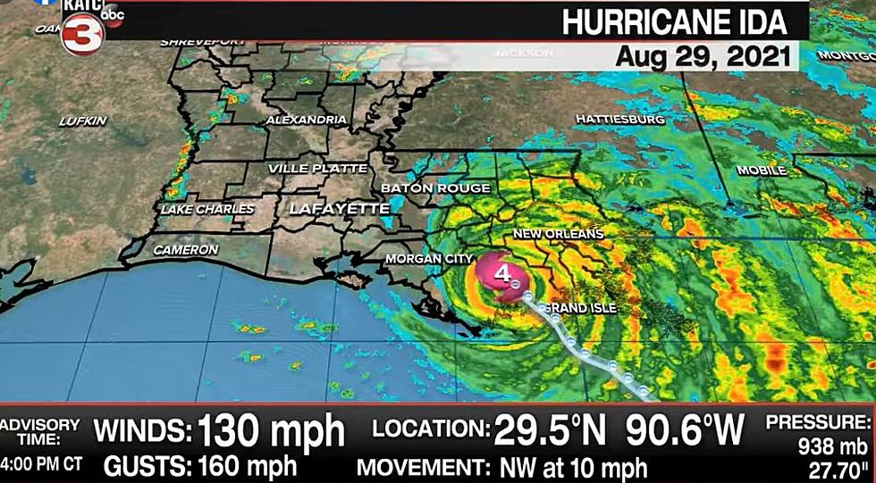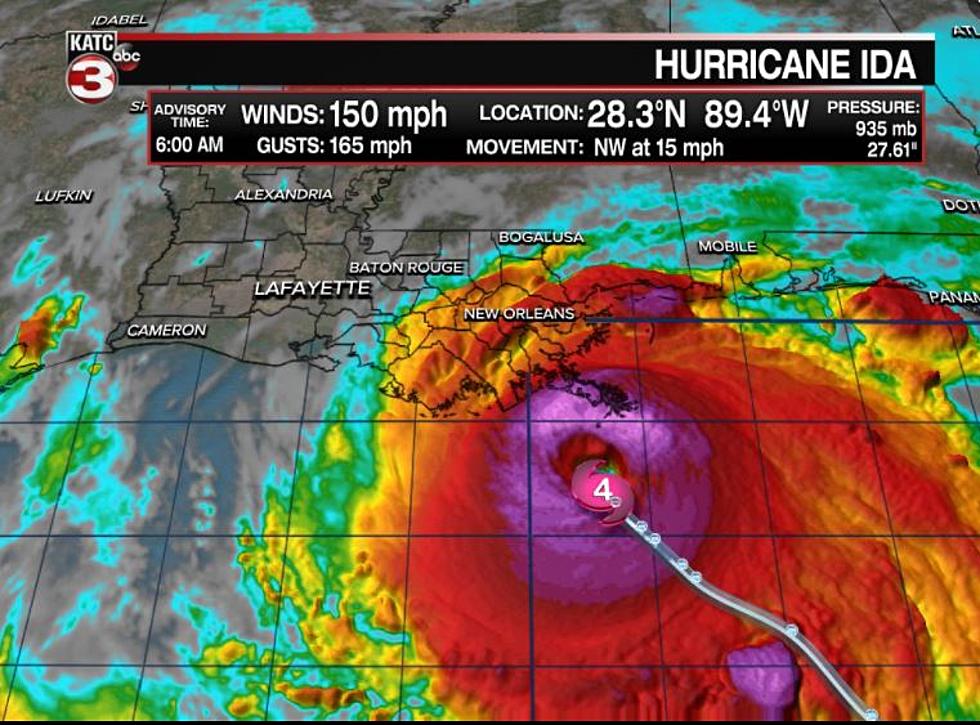
Hurricane Ida Makes Slight Eastward Shift
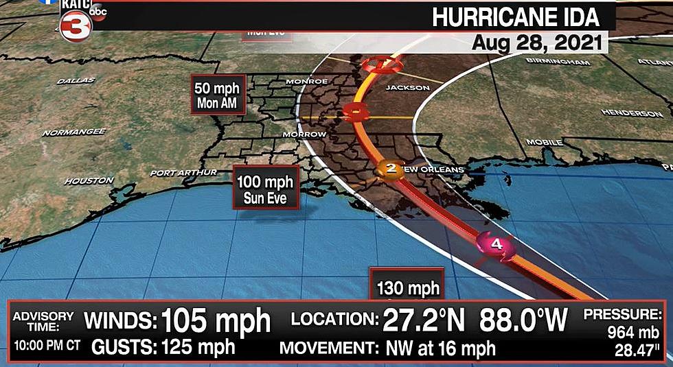
The 4 PM Advisory shows Hurricane Ida making a slight eastward shift. That puts landfall now forecasted to be on the Lafourche/Terrebonne line.
According to the National Hurricane Center, Ida is a Category 2 storm with maximum sustained winds at 105 miles per hour. The hurricane is expected to attain Category 4 strength and maximum sustained winds of 140 miles per hour before making landfall on Sunday west of New Orleans.
LOCATION...26.2N 87.0W
ABOUT 240 MI...385 KM SSE OF THE MOUTH OF THE MISSISSIPPI RIVER
ABOUT 325 MI...525 KM SE OF HOUMA LOUISIANA
MAXIMUM SUSTAINED WINDS...105 MPH...165 KM/H
PRESENT MOVEMENT...NW OR 320 DEGREES AT 16 MPH...26 KM/H
MINIMUM CENTRAL PRESSURE...976 MB...28.82 INCHES

Hurricane warnings remain posted for the Louisiana coast from Intracoastal City to the mouth of the Mississippi River. Hurricane watches remain posted from Intracoastal City to Cameron.
Parish by Parish Breakdown of Hurricane Ida's Expected Impacts
20 Items You Need to Have in Your ‘Hurricane Box’ This Year
Six Things A Cajun Needs To Survive A Storm
Hurricane Game Plan, How We Get Ready at My House
Aerial Pictures of Southwest Louisiana Before & After Hurricane Laura
Things You Want or Need After Surviving A Hurricane
Prevent Hurricane Anxiety By Prepping Now
More From 103.3 The GOAT


![LIVE Footage From Grand Isle as Hurricane Ida Approaches [WATCH]](http://townsquare.media/site/34/files/2021/08/attachment-Screen-Shot-2021-08-29-at-11.36.19-AM.jpg?w=980&q=75)


